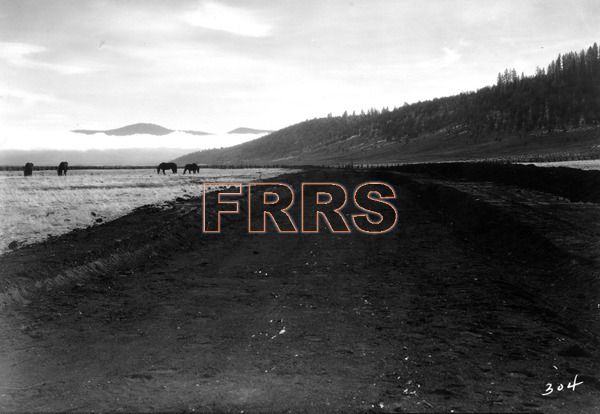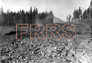
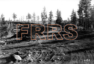
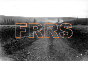
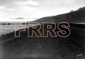
Mile 26 Wolf Creek Summit. Looking north from junction of south leg of wye, Wolf Creek Station grounds.
12-01-1930
|
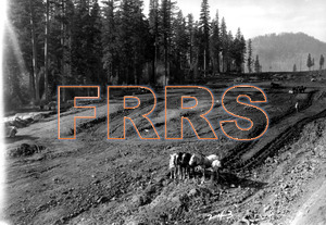
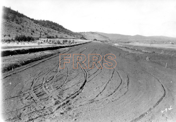
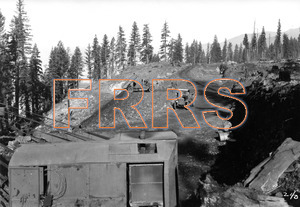
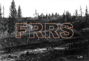
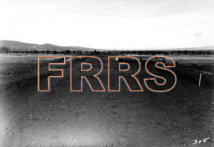
Mile 26 Wolf Creek Summit. Showing grading at Wolf Creek station grounds. It is interesting to note that in a four day trip over all of the construction activities on this line, the 12 horses shown in this view, and one mule on a tunnel job, represented the only animal power being used.
12-01-1930
|
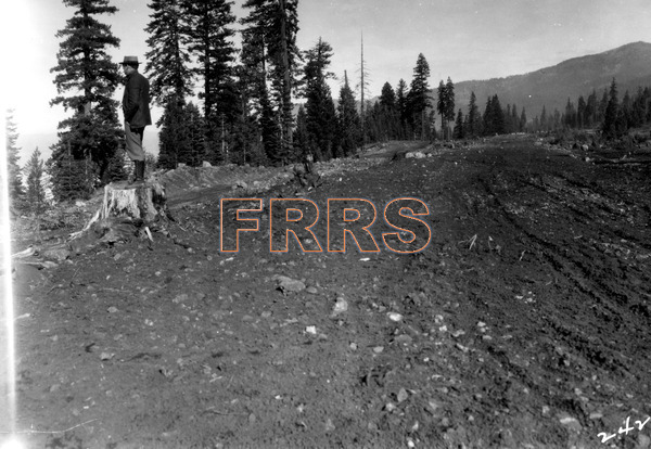
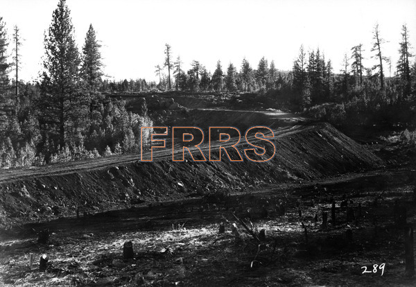
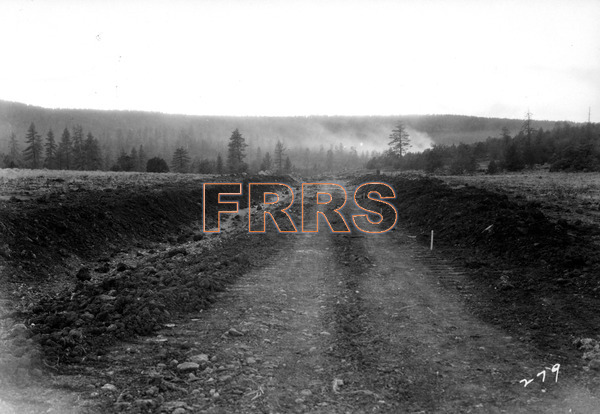
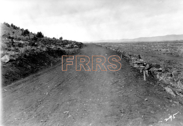
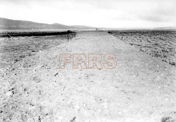
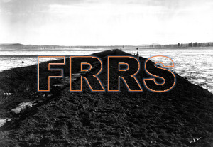
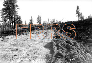
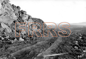
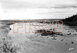
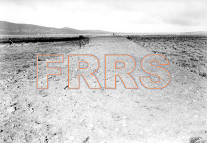
Mile 26 Wolf Creek Summit. Looking north of grade near Wolf Creek Summit, Lake Almanor to the left.
12-01-1930
|
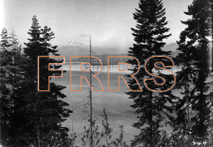
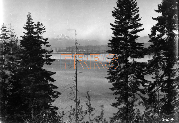
Mile 26 Wolf Creek Summit. View looking west from grade of new line, showing Mount Lassen and Lake Almanor.
12-01-1930
|
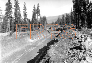
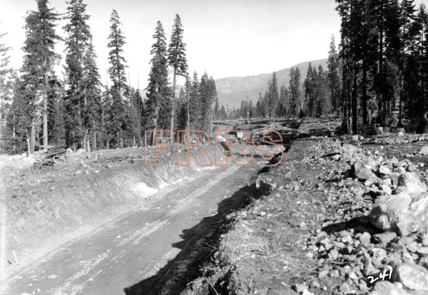
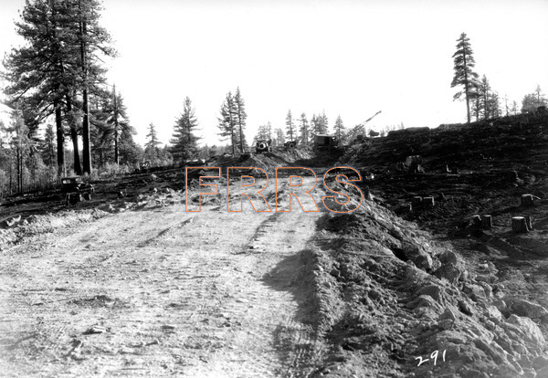
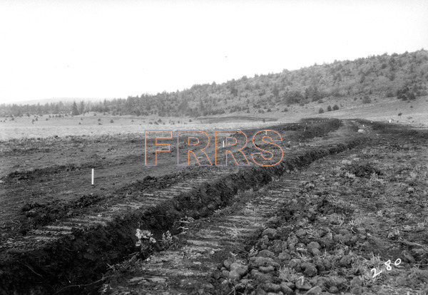
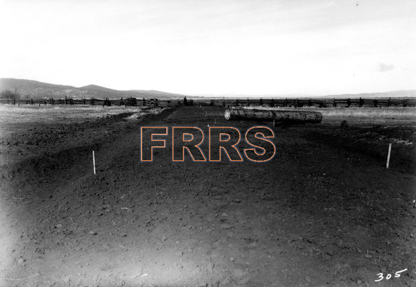
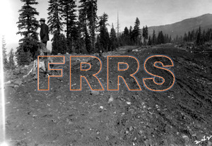
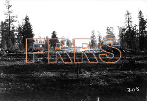
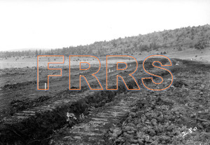
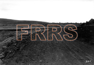
Mile 27 Near Wolf Creek Summit. Looking north along practically completed grade.
12-01-1930
|
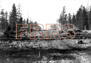
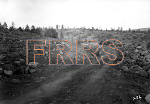
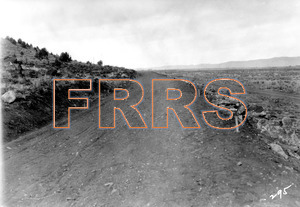
Mile 27 Near Wolf Creek Summit. Looking north along nearly completed grade. The grade at the left is that of a highway change being built by the railroad to avoid two highway crossings.
12-01-1930
|
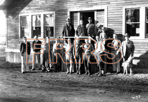
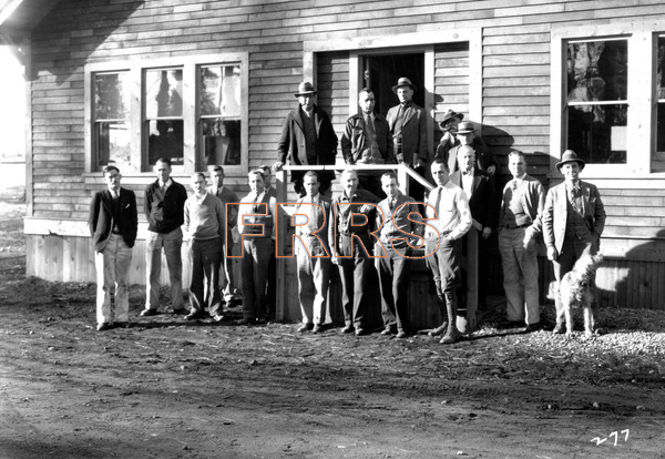
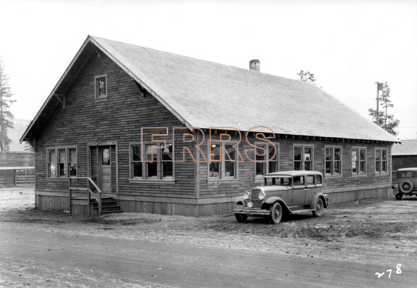
Construction engineers office staff in front of construction headquarters at Westwood.
12-01-1930
|

Construction engineers headquarters at Westwood.
12-01-1930
|
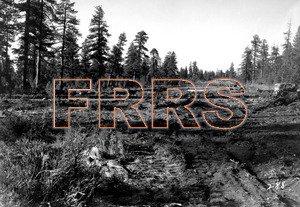
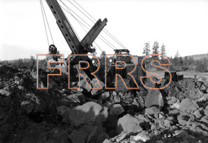
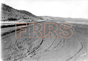
Mile 61 Bogard. View looking south along completed grade as built by the dragline excavator described in the previous picture.
12-01-1930
|
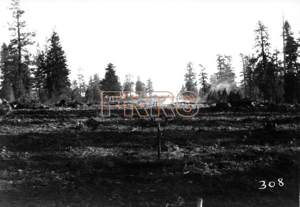
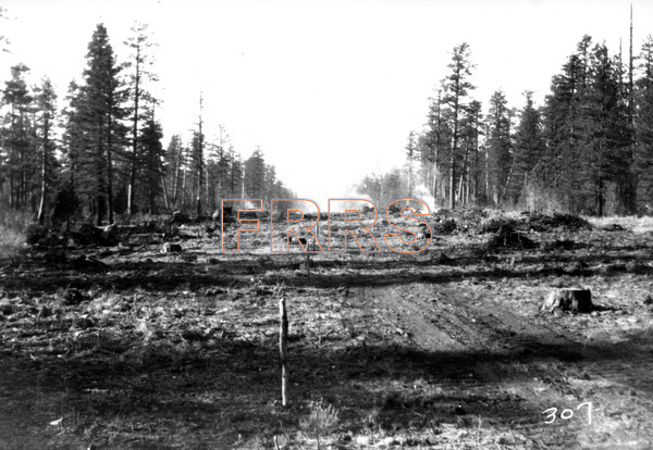
Mile 73 Between Poison Lake and Jelly Camp. Looking south showing right of way clearing.
12-01-1930
|
Mile 73 Between Poison Lake and Jelly Camp. Looking north.
12-01-1930
|
Mile 76 Between Poison Lake and Jelly Camp. Looking north
12-01-1930
|
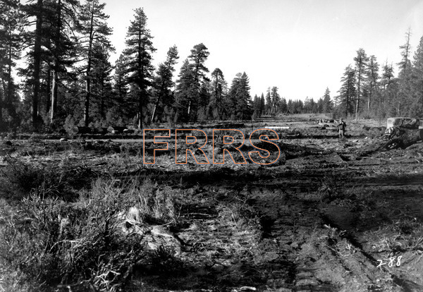
Mile 81 Between Jelly Camp and Beaver Creek. View looking south along practically completed grade.
12-01-1930
|
Mile 81 Between Jelly Camp and Beaver Creek. View looking south along practically completed grade.
12-01-1930
|
Mile 82 Between Jelly Camp and Beaver Creek. Looking south along partially completed grade.
12-01-1930
|
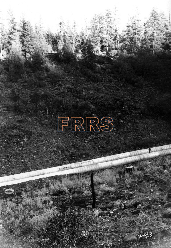
Mile 88 Beaver Creek. Looking north and down to twin 72 corrugated culverts which will carry Beaver Creek under the 100 foot fill across to gulch. Note figure on culvert to get idea of the scale. Compare with page 24 Book 1.
12-01-1930
|
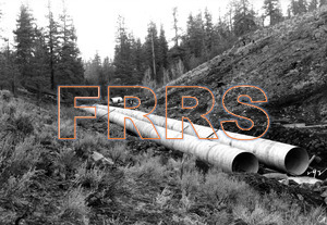
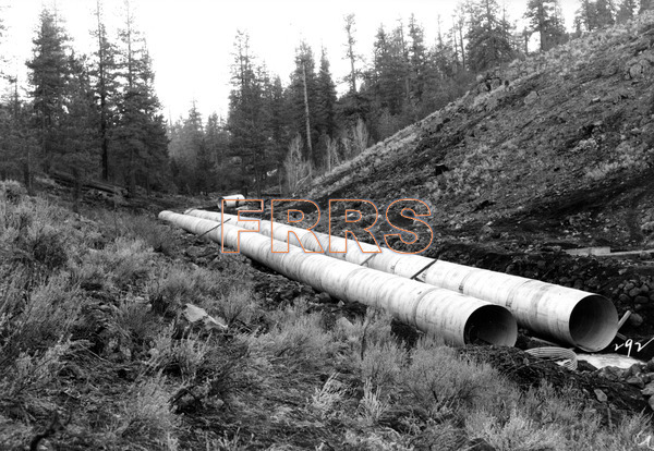
Mile 88 Beaver Creek. Looking down Beaver Creek showing twin 72 culverts under the final 100 foot fill. Compare with page 24 Book 1.
12-01-1930
|
Mile 97 Near Horse Creek. Looking south along nearly completed grade.
12-01-1930
|
Mile 97 Near Horse Creek. Looking north along practically completed grade.
12-01-1930
|
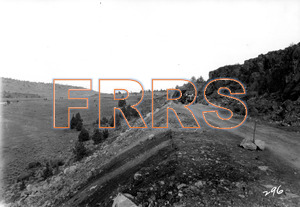
Mile 100 Between Bognuda and Clark Valley Summit. Looking south along grade.Compare with page 30 Book 1.
12-01-1930
|
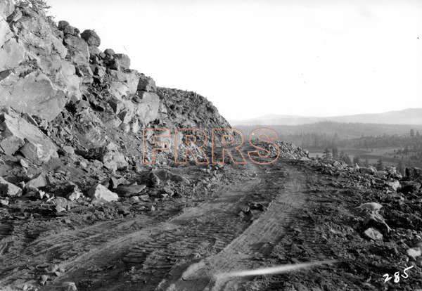
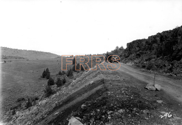
Mile 101 Near Clark Valley Summit. Looking south along practically completed grade in lava formation.
12-01-1930
|
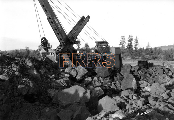
Mile 101 Near Clark Valley Summit. Power shovel in lava rock cut after blasting.
12-01-1930
|
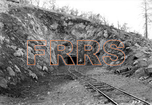
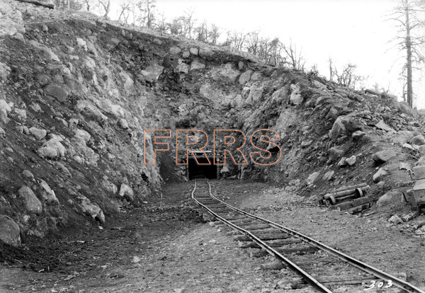
Mile 104 Near Clark Valley Summit. Looking south at north portal tunnel 11. Preliminary work up to portal face.
12-1-1930
|
Mile 109 Near Pit River Crossing. Looking north approaching Pit River Crossing.
12-01-1930
|
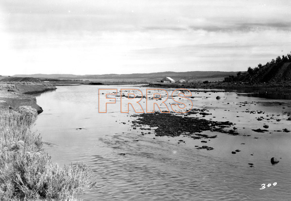
Mile 109 Pit River Crossing. Looking north showing site of Pit River Crossing. Note practically completed grade at and left. Portion of contractors camp on south bank. From Sandy Point
12-01-1930
|
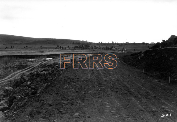
Mile 110 North of Pit River Crossing. Looking south along grade. Pit River to the left. Compare with page 34 Book 1.
12-01-1930
|
Mile 110 North of Pit River Crossing. Looking north along grade. Town of Bieber in distance. Compare with page 35 Book 1.
12-01-1930
|
Mile 110 North of Pit River Crossing. Looking north along grade ready for main line and siding. Compare with page 36 Book 1.
12-01-1930
|
Mile 112 End of Western Pacific line. Looking south along grade from junction point of IL P. RR. and G. N. Ry., main lines.Compare with page 38 Book 1.
12-01-1930
|
Mile 112 End of Western Pacific Line. Looking north from junction of W. P. RR, and G.N.Ry., main lines and showing grade of Great Northern Railway. Bieber in distance. Compare with page 39 Book 1.
12-01-1930
|
Mile 113 Bieber. Looking north showing grading for Bieber Terminal by Great Northern Railway.
12-01-1930
|