NCE_Book_2_Page_02_12-01-1930_Negative_276_thumbnail.jpg
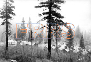
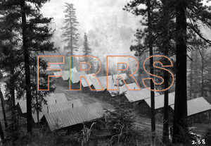
Mile 2 Near Keddie. Showing Morrison & Knudsen's Camp A. This is typical of many of the camps constructed, and is provided with electric lights, running water, electric refrigeration and other features of comfort and sanitation.
12-01-1930
|
NCE_Book_2_Page_03_12-01-1930_Negative_213_thumbnail.jpg
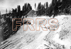
Mile 3 Between Keddie and Indian Falls. Looking north showing partially completed grade and south portal or tunnel three. Keddie-Indian Falls county road at right has been widened in accordance with agreement with county. See Page 1, Book 1, for comparison of work done since October 1st.
12-01-1930
|
NCE_Book_2_Page_04_12-01-1930_Negative_234_thumbnail.jpg
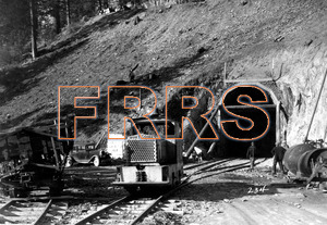
Mile 3 Between Keddie and Indian Falls. View showing south portal of tunnel three. Compare with pages 1, Book 1.
12-01-1930
|
NCE_Book_2_Page_05_12-01-1930_Negative_272_thumbnail.jpg
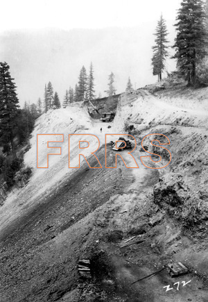
Mile 3 Between Keddie and Indian Falls. Looking north along grade to point where county road is to pass over line by means of overhead crossing.
12-01-1930
|
NCE_Book_2_Page_06_12-01-1930_Negative_235_thumbnail.jpg
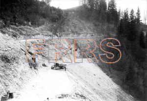
Mile 3 Between Keddie and Indian Falls. Looking south to the north portal of tunnel three. This view taken from the top of cut shown in previous picture No. 5.
12-01-1930
|
NCE_Book_2_Page_07_12-01-1930_Negative_238_thumbnail.jpg
Mile 4 Near Indian Falls. Morrison & Knudsen's camp B.
12-01-1930
|
NCE_Book_2_Page_09_12-01-1930_Negative_237_thumbnail.jpg
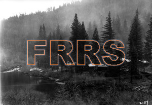
Mile 7 Between Damsite and Crescent Mills. Showing Paul J. Tyler camp.
12-01-1930
|
NCE_Book_2_Page_10_12-01-1930_Negative_236_thumbnail.jpg
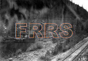
Mile 7 Between Damsite and Crescent Mills. Showing completed contractor's roadway bridge over Indian Creek and portion of practically completed new grade in the background. Compare with page 3, Book 1.
12-01-1930
|
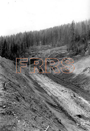
NCE_Book_2_Page_11_12-01-1930_Negative_275_thumbnail.jpg
Mile 17 North of Greenville. Looking south toward Greenville
12-01-1930
|
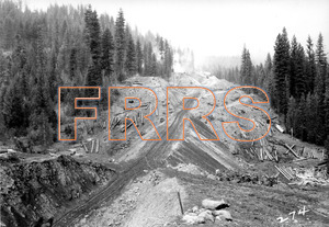
NCE_Book_2_Page_12_12-01-1930_Negative_274_thumbnail.jpg
Mile 17 North of Greenville. Looking north from top of 55-foot cut, and along portion of 2.2% grade. This compared with page 7, Book 1.
12-01-1930
|
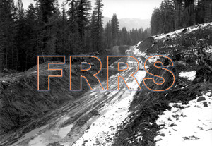
NCE_Book_2_Page_13_12-01-1930_Negative_271_thumbnail.jpg
Mile 20 Between Greenville and Wolf Creek Summit. View looking south. Compare page 8, Book 1.
12-01-1930
|
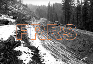
NCE_Book_2_Page_14_12-01-1930_Negative_270_thumbnail.jpg
Mile 20 Between Greenville and Wolf Creek Summit. View looking north. Compare with page 9, Book 1.
12-01-1930
|
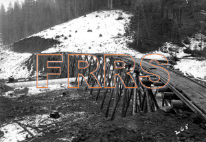
NCE_Book_2_Page_15_12-01-1930_Negative_268_thumbnail.jpg
Mile 21 Between Greenville and Wolf Creek Summit. Looking south showing corrugated culvert and temporary trestle in place preparatory to making fill.
12-01-1930
|
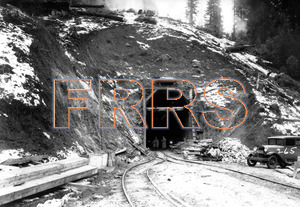
NCE_Book_2_Page_16_12-01-1930_Negative_265_thumbnail.jpg
Mile 22 Between Greenville and Wolf Creek Summit. Looking north at the south portal of tunnel seven. Compare with page 10, Book 1.
12-01-1930
|
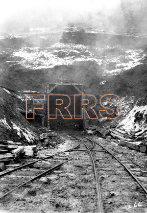
NCE_Book_2_Page_17_12-01-1930_Negative_266_thumbnail.jpg
Mile 22 Between Greenville and Wolf Creek Summit. Looking south at north portal of tunnel seven. Compare with page 11, Book 1.
12-01-1930
|
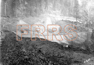
NCE_Book_2_Page_18_12-01-1930_Negative_264_thumbnail.jpg
Mile 22 Between Greenville and Wolf Creek Summit. Looking north across highway to completed grade in background. This is location of highway underpass, being somewhat differently viewed on page 12, Book 1.
12-01-1930
|
NCE_Book_2_Page_19_12-01-1930_Negative_263_thumbnail.jpg
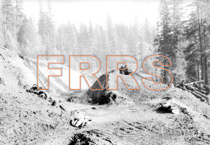
Mile 22 Between Greenville and Wolf Creek Summit. Looking north from point near highway crossing shown in previous picture.
12-01-1930
|
NCE_Book_2_Page_20_12-01-1930_Negative_261_thumbnail.jpg
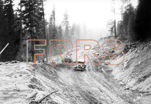
Mile 23 Between Greenville and Wolf Creek Summit. Looking south along partly completed grade.
12-01-1930
|
NCE_Book_2_Page_21_12-01-1930_Negative_262_thumbnail.jpg
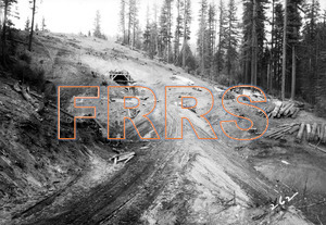
Mile 23 Between Greenville and Wolf Creek Summit. Looking north at south portal of tunnel eight.
12-01-1930
|
NCE_Book_2_Page_22_12-01-1930_Negative_260_thumbnail.jpg
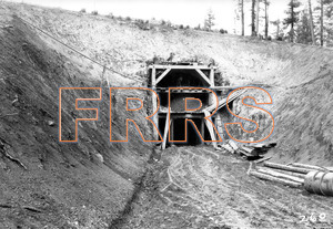
Mile 23 Between Greenville and Wolf Creek Summit. South portal of tunnel 8.
12-01-1930
|
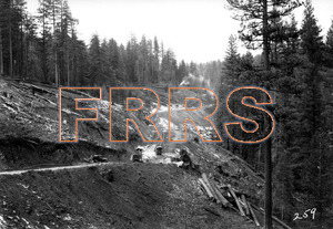
NCE_Book_2_Page_23_12-01-1930_Negative_259_thumbnail.jpg
Mile 23 Between Greenville and Wolf Creek Summit. Looking north along partially completed grade north of tunnel 8.
12-01-1930
|
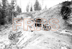
NCE_Book_2_Page_24_12-01-1930_Negative_258_thumbnail.jpg
Mile 23 Between Greenville and Wolf Creek Summit. Looking south at the north portal of tunnel 8.
12-01-1930
|
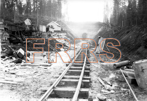
NCE_Book_2_Page_25_12-01-1930_Negative_257_thumbnail.jpg
Mile 23 Between Greenville and Wolf Creek Summit. Looking north at the south portal of tunnel 9. Compares with page 14, Book 1.
12-01-1930
|
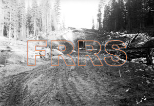
NCE_Book_2_Page_26_12-01-1930_Negative_256_thumbnail.jpg
Mile 23 Between Greenville and Wolf Creek Summit. Looking south at the north portal or tunnel 9. Compares with page 15, Book 1.
12-01-1930
|
NCE_Book_2_Page_27_12-01-1930_Negative_255_thumbnail.jpg
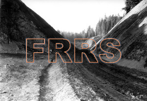
Mile 24 Between Greenville and Wolf Creek Summit. Looking north through large cut and approaching Sheep Camp Creek fill in background at left.
12-01-1030
|
NCE_Book_2_Page_28_12-01-1930_Negative_254_thumbnail.jpg
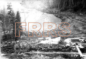
Mile 24 Between Greenville and Wolf Creek Summit. Looking north showing progress on Sheep Camp Creek fill, which is being made as a result of the elimination of tunnel 10 in the background. This fill takes the place of a high steel viaduct originally contemplated across this gulch. Approximately 250,000 cubic yards of material will be removed from the cut, and a 6x5 reinforced concrete box under the fill will provide for drainage.
12-01-1930
|
NCE_Book_2_Page_29_12-01-1930_Negative_253_thumbnail.jpg
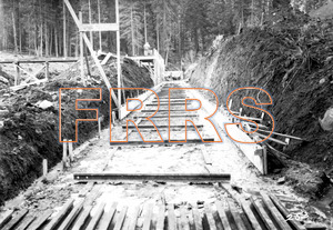
Mile 24 Between Greenville and Wolf Creek Summit. Showing beginning of construction of 6’ x 5’ reinforced concrete box to carry Sheep Camp Creek drainage under the big fill.
12-01-1930
|
NCE_Book_2_Page_29a_12-01-1930_Negative_246_thumbnail.jpg
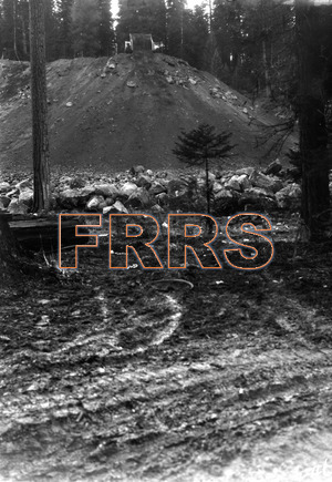
Mile 24 Between Greenville and Wolf Creek Summit. View of first lift on Sheep Camp Creek fill.
12-01-1930
|
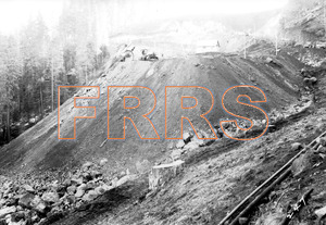
NCE_Book_2_Page_30_12-01-1930_Negative_247_thumbnail.jpg
Mile 24 Between Greenville and Wolf Creek Summit. Looking north showing progress on Sheep Camp Creek fill, and in background the first bench of the 110 foot deep cut which is supplanting originally contemplated tunnel 10.
12-01-1930
|
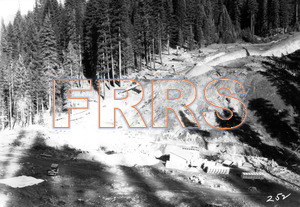
NCE_Book_2_Page_32_12-01-1930_Negative_252_thumbnail.jpg
Compare with page 17, Book 1.
12-01-1930
|
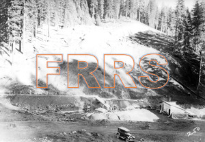
NCE_Book_2_Page_33_12-01-1930_Negative_250_thumbnail.jpg
View taken from top of fill shown page 30.
12-01-1930
|
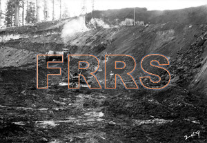
NCE_Book_2_Page_34_12-01-1930_Negative_249_thumbnail.jpg
Mile 24 Between Greenville sad Wolf Creek Summit. Looking north from north end of Sheep Camp Creek fill and showing in the background the first cut of the excavation which takes the place of the originally contemplated tunnel 10. The man standing in the middle foreground is approximately at the position of the originally contemplated tunnel portal which shows on page 18, Book 1.
12-01-1030
|
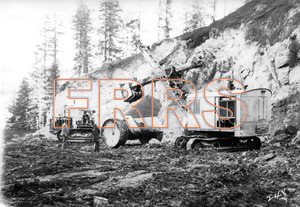
NCE_Book_2_Page_35_12-01-1930_Negative_248_thumbnail.jpg
Mile 24 Between Greenville and Wolf Creek Summit. Power shovel working in first bench of big cut Which will supplant originally contemplated tunnel 10 just north of Sheep Camp Creek fill.
12-01-1930
|