NCE_Book_1_Page_01_10-03-1930_Negative_174_thumbnail.jpg
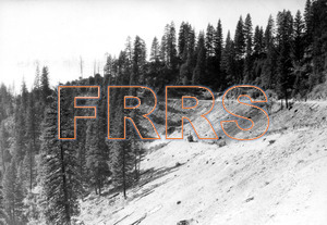
Mile 3 Between Keddie and Indian Falls. Looking north toward south portal tunnel number three. Keddie-Indian Falls county road to right above power shovel. This road is to be widened in accordance with agreement with County authorities.
10-03-1930
|
NCE_Book_1_Page_02_10-03-1930_Negative_175_thumbnail.jpg
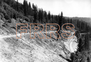
Mile 3 Between Keddie and Indian Falls. Looking south toward Keddie from approximately same position shown in picture page 1. The Keddie-Indian Falls county road is shown to the left, and the new Feather River State Highway shown below at the right. The railroad grade lies approximately midway between the roads at this point.
10-03-1930
|
NCE_Book_1_Page_04_10-03-1930_Negative_173_thumbnail.jpg
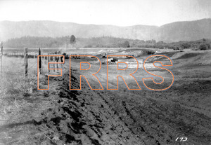
Mile 9 At Crescent Mills. Looking north. Grading for construction material yard to be reached via rails of Indian Valley Railroad.
10-03-30
|
NCE_Book_1_Page_05_10-03-1930_Negative_172_thumbnail.jpg
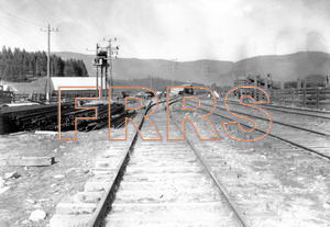
Mile 9 Crescent Mills. Looking north. Lead from Indian Valley Railroad to Crescent Mills construction material yard.
10-03-1930
|
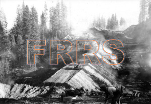
NCE_Book_1_Page_06_10-03-1930_Negative_188_thumbnail.jpg
Mile 17 North of Greenville. Looking south. Showing partially completed grade.
10-03-1930
|
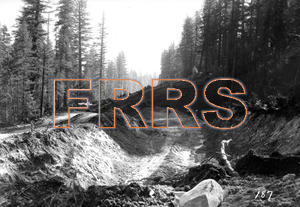
NCE_Book_1_Page_08_10-03-1930_Negative_187_thumbnail.jpg
Mile 20 Midway between Greenville and Wolf Creek summit. Looking south.
10-03-1930
|
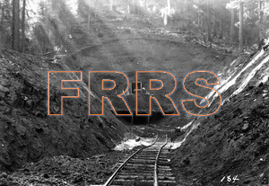
NCE_Book_1_Page_11_10-03-1930_Negative_184_thumbnail.jpg
Mile 22 Between Greenville and Wolf Creek Summit. Looking south at north portal of tunnel seven. Preliminary heading and opening at portal.
10-03-1930
|
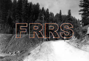
NCE_Book_1_Page_12_10-03-1930_Negative_180_thumbnail.jpg
Mile 22 Between Greenville and Wolf Creek summit. Looking north showing crossing of Hollenbeck Loop and Highway. Engineering party cross-sectioning preliminary to constriction of highway underpass.
10-03-1930
|
NCE_Book_1_Page_13_10-03-1930_Negative_179_thumbnail.jpg
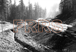
Mile 23 Between Greenville and Wolf Creek Summit. Looking south along grade.
10-03-1930
|
NCE_Book_1_Page_17_10-04-1930_Negative_183_thumbnail.jpg
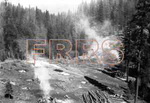
Mile 24 Near Wolf Creek Summit. Looking south showing Sheep Camp Creek viaduct site. After construction had commenced decision was reached to eliminate tunnel ten just north of this creek and use the approximately 250,000 cubic yards of material removed in making this fill to replace the proposed viaduct at this site. See views in book 2.
10-04-1930
|
NCE_Book_1_Page_18_10-04-1930_Negative_182_thumbnail.jpg
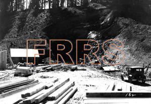
Mile 24 Near Wolf Creek Summit. Looking north showing a large fill.
10-3-1930
|
NCE_Book_1_Page_19_10-04-1930_Negative_191_thumbnail.jpg
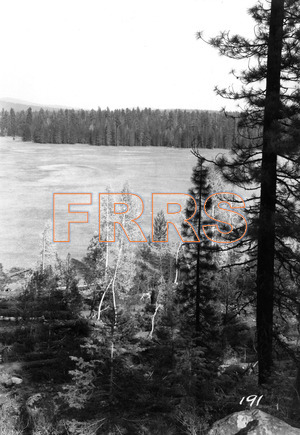
Mile 58 Near Susan River Summit. Looking south along line across portion of Anna Lake.
10-04-1930
|
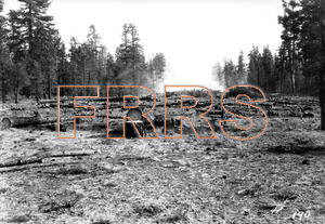
NCE_Book_1_Page_20_10-04-1930_Negative_190_thumbnail.jpg
Mile 58 Between Susan River Summit and Bogard. Looking south along right of way clearing.
10-04-1930
|
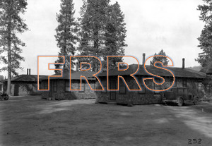
NCE_Book_1_Page_21_10-04-1930_Negative_232_thumbnail.jpg
Mile 60 West of Bogard. Standard section bunk houses in use as resident engineers headquarters camp, adjacent to highway. These houses are mounted on heavy skids and will be moved to Bogard when the line is completed where they will form portion of proposed section units.
10-04-1930
|
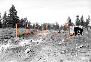
NCE_Book_1_Page_22_10-05-1930_Negative_202_thumbnail.jpg
Mile 79 Near Jelly Camp. Looking north.
10-05-1930
|
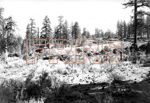
NCE_Book_1_Page_23_10-05-1930_Negative_200_thumbnail.jpg
Nile 80 North of Jelly Camp. Looking south along partially completed grade.
10-05-1930
|
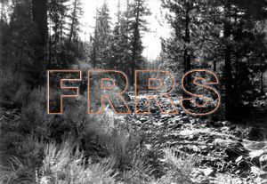
NCE_Book_1_Page_24_10-05-1930_Negative_199_thumbnail.jpg
Mile 88
Beaver Creek. Looking down Beaver Creek. The line crosses the creek approximately at right angles at point where man is standing with arms outstretched and on a 100-foot fill. Two corrugated iron culverts 72 in diameter will serve the drainage.10-05-1930
|
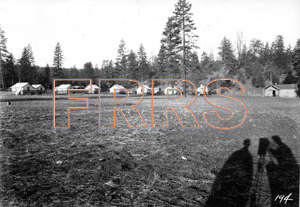
NCE_Book_1_Page_25_10-05-1930_Negative_194_thumbnail.jpg
Mile 97 Near Bognuda. Showing engineers camp established for two residencies, and located at Bognudas Ranch in Little Valley.
10-05-1930
|
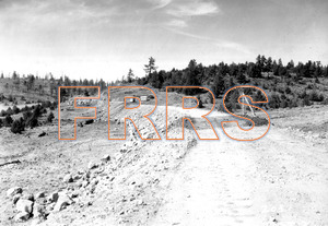
NCE_Book_1_Page_27_10-05-1930_Negative_203_thumbnail.jpg
Mile 99
Between Bognuda and Clark Valley Summit. Looking north along grade.10-05-1930
|
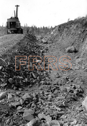
NCE_Book_1_Page_28_10-05-1930_Negative_196_thumbnail.jpg
Mile 100 Between Bognuda and Clark Valley summit. Looking north showing partially completed rock cut. Bank on which power shovel is standing to be excavated down to grade shown at right.
10-05-1930
|
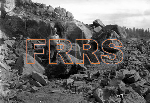
NCE_Book_1_Page_29_10-05-1930_Negative_197_thumbnail.jpg
Mile 100 Between Bognuda and Clark Valley Summit. Looking south showing character of lava rock encountered.
10-05-1930
|
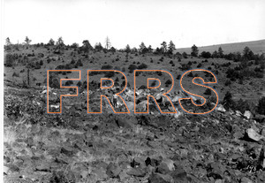
NCE_Book_1_Page_30_10-05-1930_Negative_198_thumbnail.jpg
Mile 100 Between Bognuda and Clark Valley Summit. Looking south at site of rock cut showing condition after blasting preparatory to power shovel work.
10-05-1930
|
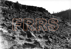
NCE_Book_1_Page_32_10-05-1930_Negative_204_thumbnail.jpg
Mile 100 Pit River. Looking south showing character of lava material encountered in dropping down side of Pit River Canyon from Clark Valley Summit to Pit River crossing.
10-05-1030
|
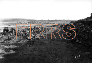
NCE_Book_1_Page_34_10-05-1930_Negative_206_thumbnail.jpg
Mile 110 Near Pit River. Looking south to Pit River crossing. Contractors camp in background and across river.
10-05-1930
|
NCE_Book_1_Page_35_10-05-1930_Negative_205_thumbnail.jpg
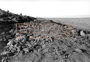
Mile 110 Near Pit River. Looking north in Big Valley toward Bieber.
10-05-1930
|
NCE_Book_1_Page_36_10-05-1930_Negative_208_thumbnail.jpg
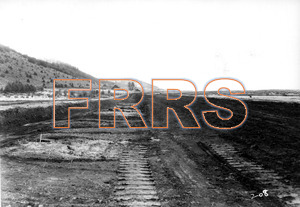
Mile 110 Near Pit River. Looking north in Big Valley toward Bieber.
10-05-1930
|
NCE_Book_1_Page_38_10-05-1930_Negative_210_thumbnail.jpg
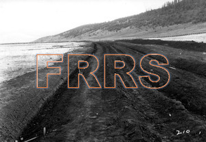
Mile 112 Near Bieber. Looking south in Big Valley from point of connection with Great Northern Railway.
10-05-1930
|
NCE_Book_1_Page_39_10-05-1930_Negative_211_thumbnail.jpg
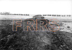
Mile 112 Near Bieber. Looking north along Great Northern grade from point of connection with Great Northern Railway. Town of Bieber in the distance at right.
10-05-1930
|